Activity
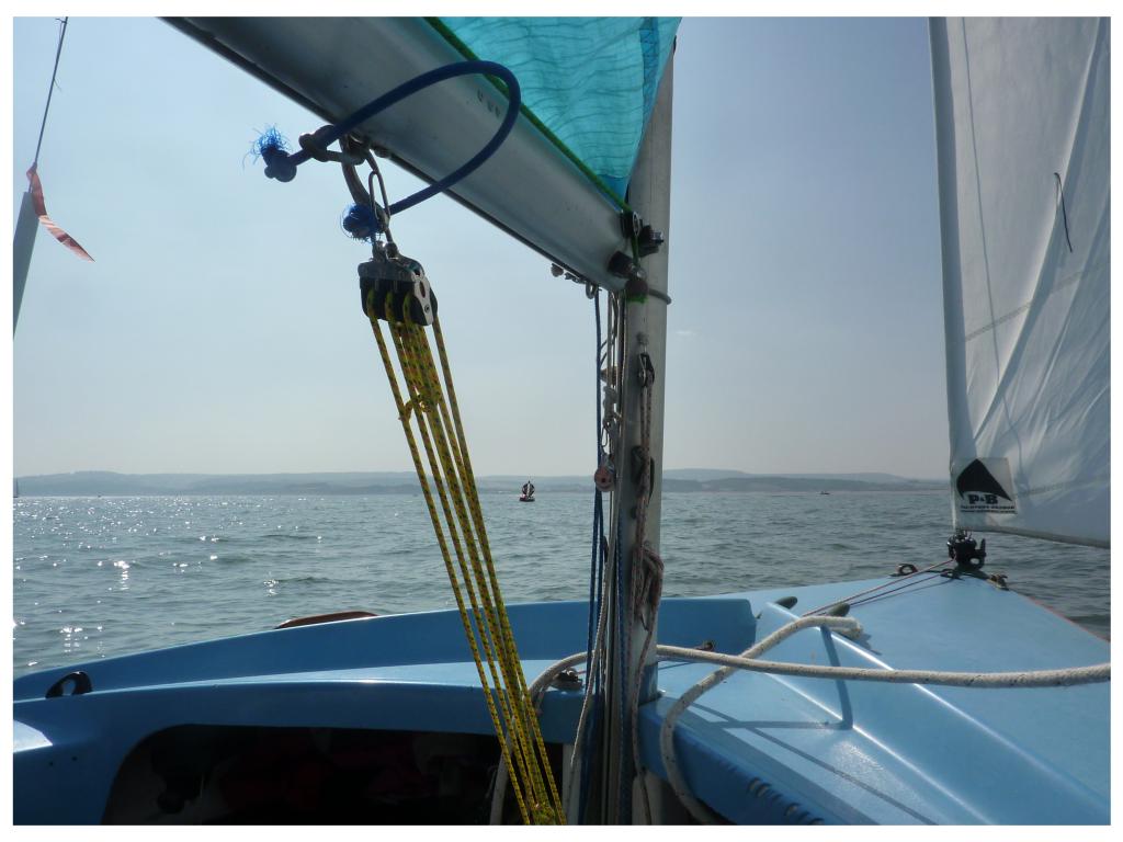
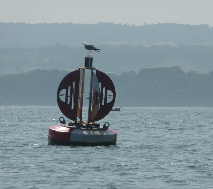
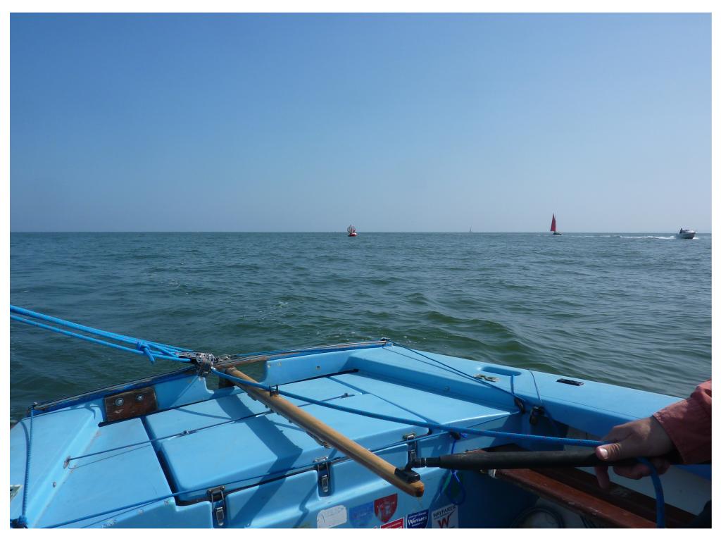
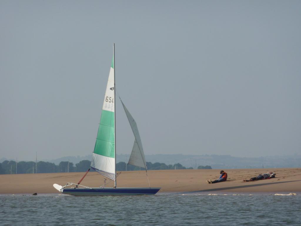
A sail, paddle and drift to the safe water mark
Sailing
13 Jul 2013
10.2 nm
Explore the route, photos and activity statistics below.
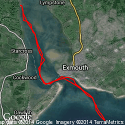
Use the slider to inspect the recorded route point by point.
Time: -
Distance: -
Speed: -
Heading: -
Latitude: -
Longitude: -
Photos
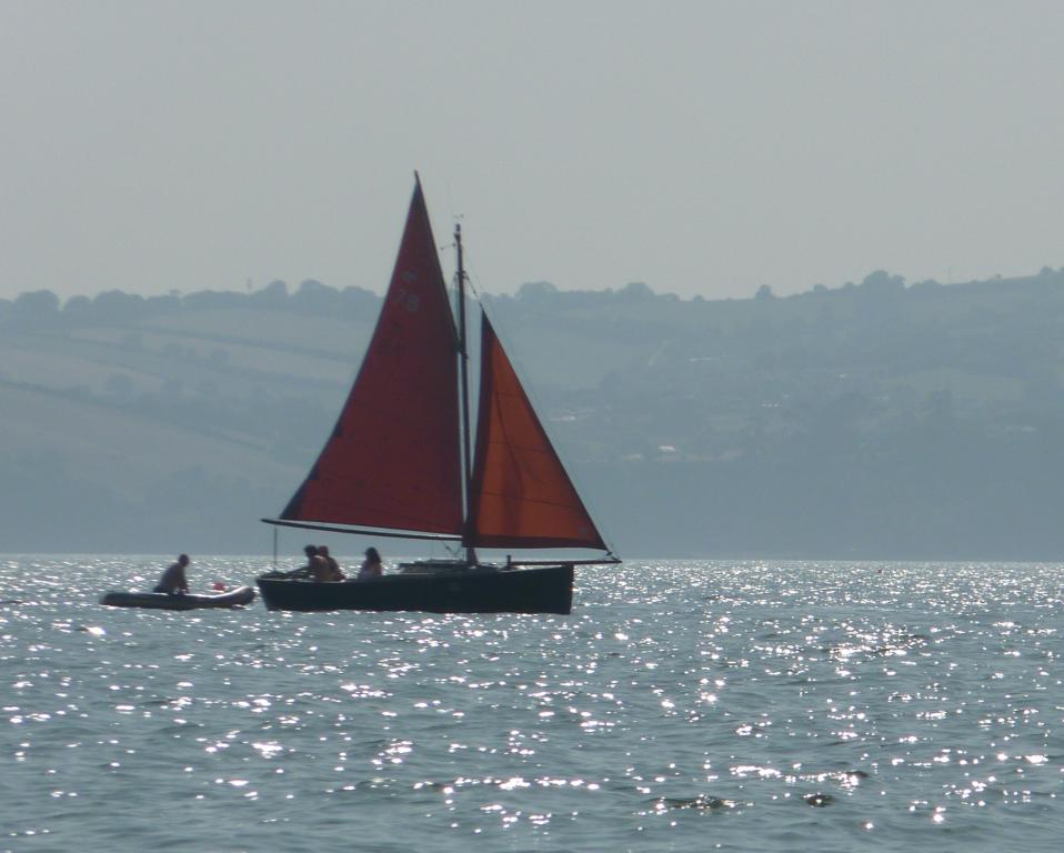
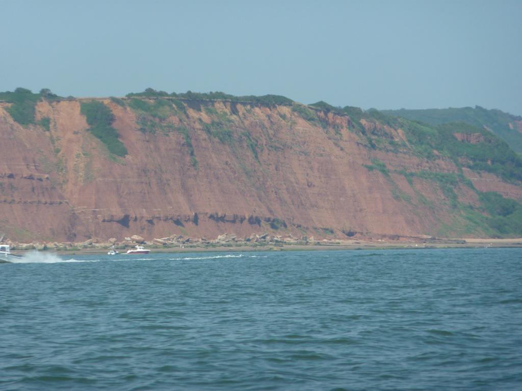
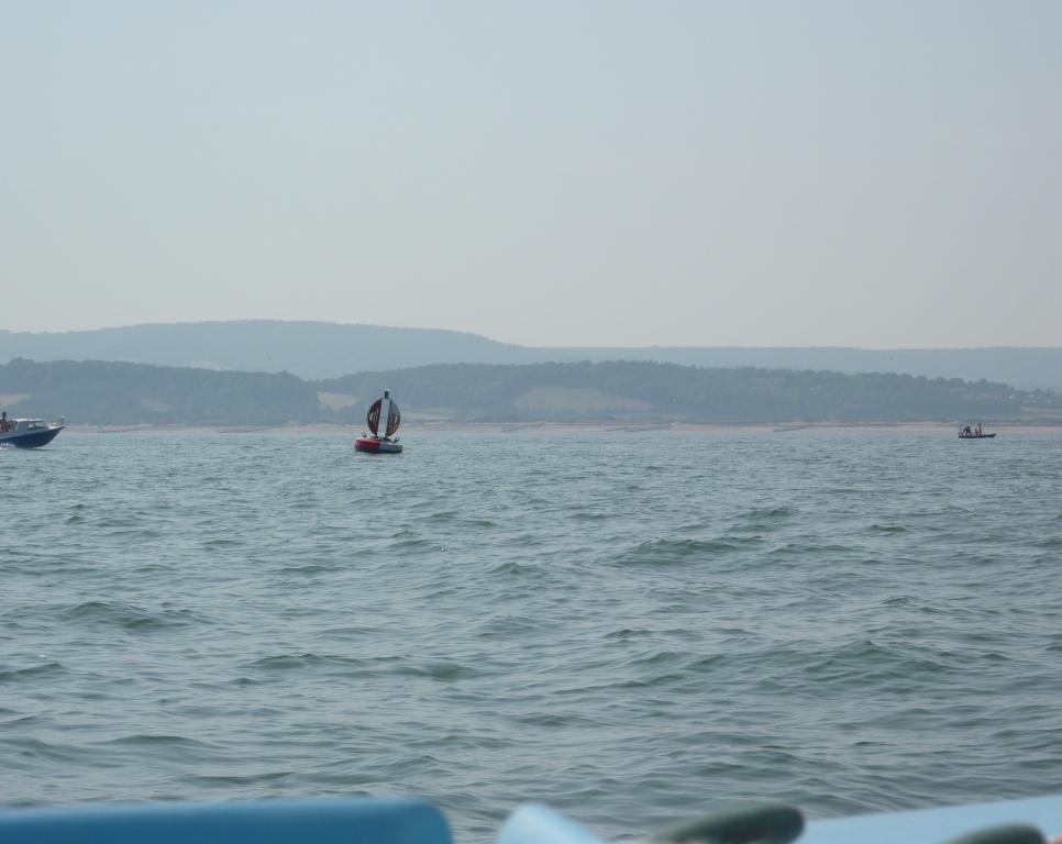

View all 8 photos
10.2 nm
Distance
2h 52m
Moving time
3.5 kn
Average speed
7.2 kn
Max speed
- Description
- More wind in the Estuary than out of it on this sail to the safe water mark at the mouth of the Exe
- Start
- 13 Jul 2013 at 14:40:34
- End
- 13 Jul 2013 at 17:56:10
- Participants
- Aidan and Liz
- Tags
- Exe Estuary Safe water mark SYC